


In recent years, Propeller Drones has been providing us with high-quality and professional operation services of advanced UAV systems, through a reliable, skilled, and committed team, among the best and most experienced in the field.

During our collaboration with Propeller Drones, we conducted a series of training sessions for farmers from across the country – and every session turned into a professional and enriching experience. Their team not only brings knowledge and experience but also a human and patient approach that speaks the exact language of our farmers. Together, we successfully introduced advanced drone technology to field crops – and the feedback from the field speaks for itself.

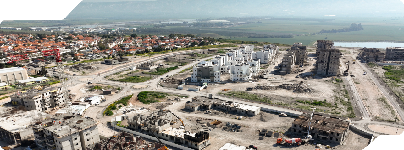
We've been working with Propeller Drones for four consecutive years on hundreds of projects in the mapping and surveying of complex infrastructure across the country. Their team is professional, precise, and always available, with an exceptionally high standard of operation and adherence to deadlines. Their ability to provide high-quality and consistent data is a significant asset to our company.

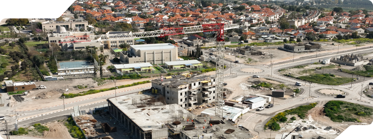
We've been working with Propeller Drones since the early days of Exodigo, and they have become an integral part of our extended team. Their piloting team provides us with advanced flight services and mapping services at the highest level, with professionalism, accuracy, and availability at all times and in all locations – even when it's necessary to wake up early or stay until sunset. For us, they are not just suppliers; they are true partners on the journey.
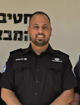
The Israel Prison Service faced a significant challenge in establishing a drone network and training dedicated pilots. Thanks to the professional and tailored training that Propeller Drones developed for us, we successfully established an operational and effective drone network that currently operates across all Shabak facilities nationwide. Their team supported us every step of the way with exceptional dedication and professionalism, turning the vision into reality.