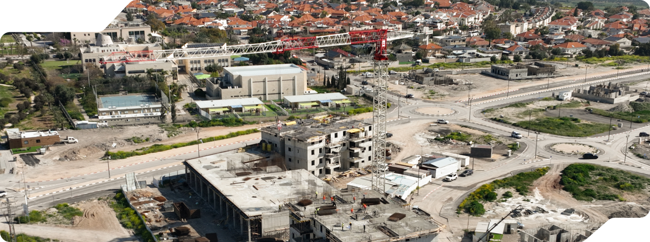
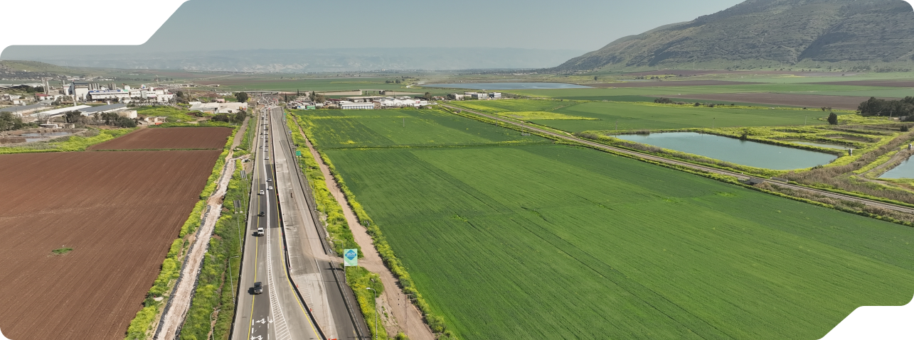
Aerial Mapping & Surveying – Our Expertise, Your Advantage
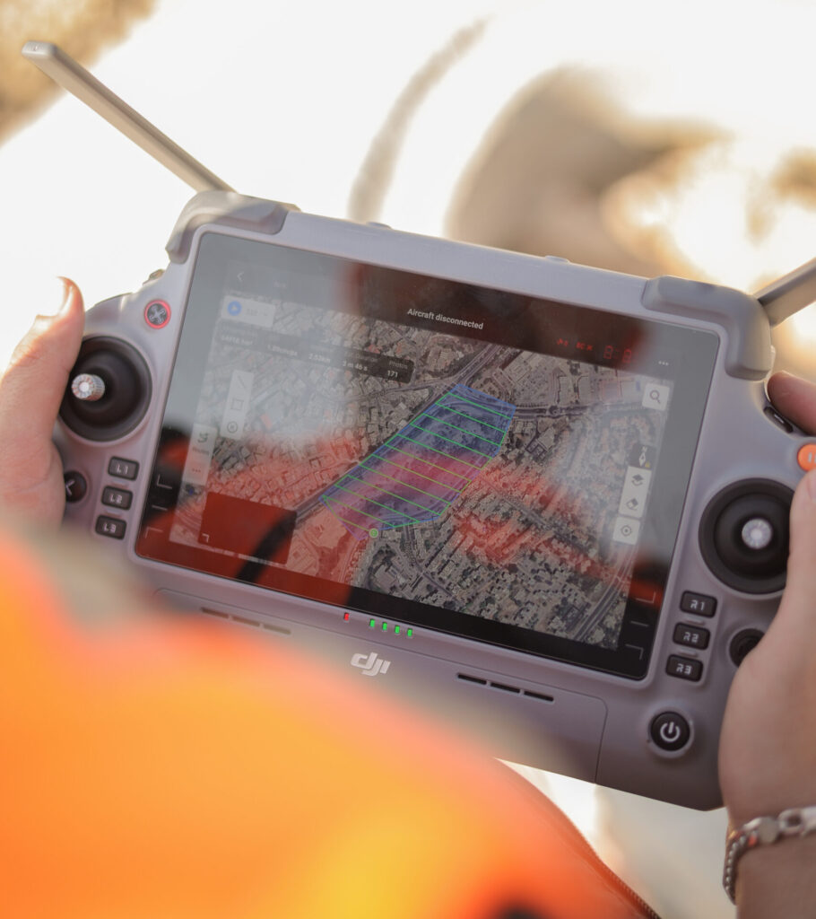
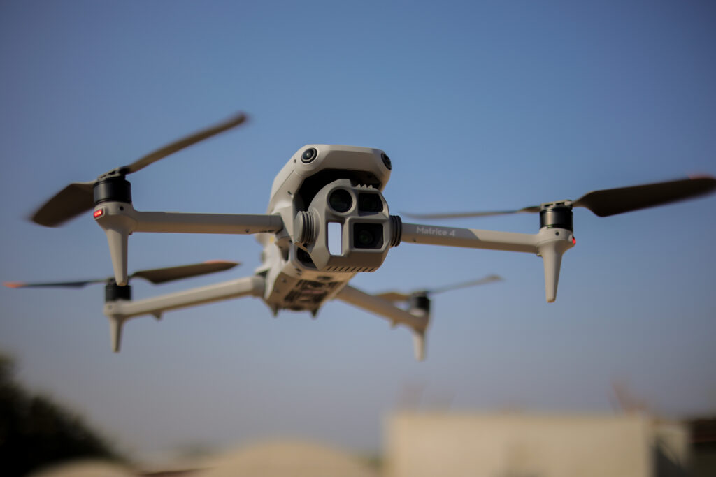
Propeller Drones is a leader in drone-based mapping and surveying in Israel, offering nationwide coverage with one of the most advanced RTK drone fleets in the world. Our professional teams, equipped with the latest cutting-edge technology, perform high-precision mapping and surveying for a wide range of projects — from infrastructure and construction to agriculture and urban planning.
Our Innovative Business Model: Pay Per Picture
We are proud to introduce our unique PPP (Pay Per Picture) model, which ensures that our clients only pay for the deliverables they actually receive. This model guarantees full transparency, economic efficiency, and complete peace of mind. You pay only for the final product — whether it’s orthophoto maps, 3D models, or volume calculations.
Proven Experience, Rapid Execution
With a proven track record of thousands of successful projects across the country, Propeller Drones brings the expertise and knowledge required to ensure the success of every mission. We specialize in delivering high-quality results within tight deadlines, all while maintaining the highest professional standards in the industry.